Wednesday, January 22, 2014
Ouachita Trail Adventure Mile marker approx 188 - 192 (Lake Sylvia to Hwy 9)
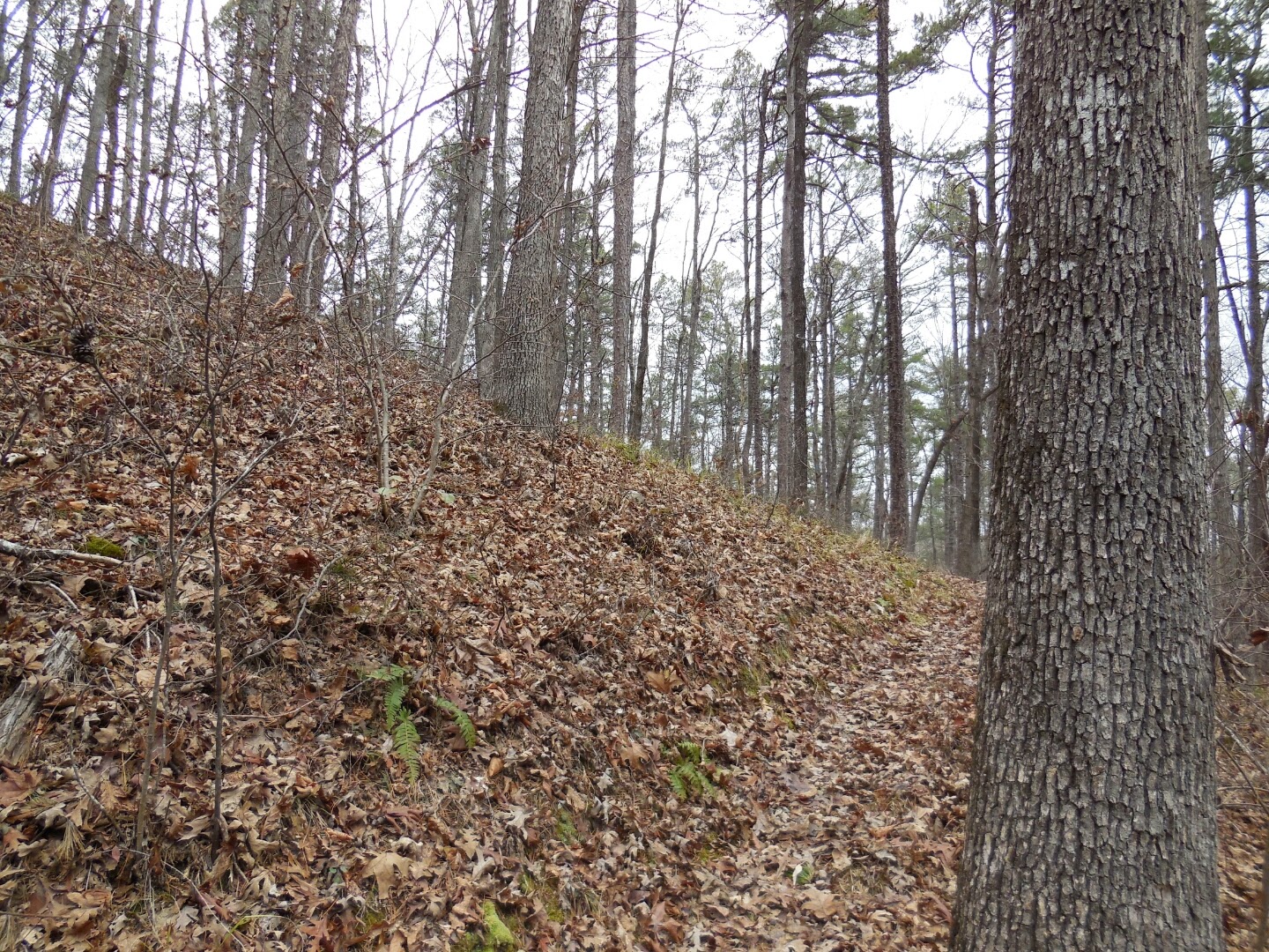
Well last weekend it was time for another trail adventure on the Ouachita Trail (OT), this adventure would take me from Lake Sylvia to the Hwy 9 trail head. The distance was around 5 miles out and back. I didn't really know what to expect going into this run/hike, but was looking forward to it. The trail started off going uphill on a gradual slope towards the Nancy Shelter. Most of the trail was bench cut with the "valley/creek" below you. The trail was very clear to follow and well marked. It was not that rocky and only had a couple of trees down on it. The first 2.5 miles were uphill and then you dropped back down towards Hwy 9. The views of the creek were great. There were no sweeping vista views for this hike, but still it was nice to be on the trail.
Saturday, January 18, 2014
52 Places to go in 2014 Article
So where do you want to go? Pretty good article on places to go visit. A few of these are my list - Nepal being one of the top. I thought seeing Indianapolis and Downtown LA on the list were different.
http://nyti.ms/19iFvGz
http://nyti.ms/19iFvGz
Thursday, January 9, 2014
Ouachita Trail from Mileage 187 to 183 OAB
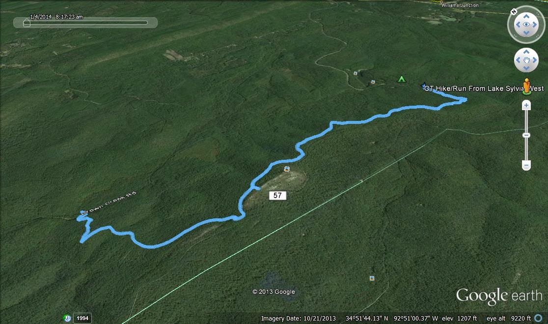
On Sunday Jan. 5th, I went out to Lake Sylvia to run/hike a section of the Ouachita Trail from Lake Sylvia parking area to about mile marker 183.
To get to the OT, you take an approx .5 mile trail spur from the Lake Sylvia parking lot.
The trail begins with an uphill climb for around 3 miles to the Flat Side Pinnacle. The trail heading up to this area is bench cut and easy to follow. I had no trouble locating the trail even when some trail markers were hard to find.
Once you reach the Flat Side Pinnacle you can scramble your way up to the top to get some good views of the Ouachita mountains. The day I went it was pretty cloudy and windy, but I was till able to enjoy the views.
From here you have approx 2 miles downhill towards Brown Creek Rd/FR 805. Again the trail here was well marked and easy to follow. There were a couple of flat sections, but it was mainly pretty clean trail with some rocky spots.
At the turnaround area below:
This was a very enjoyable hike. It was a lot of up and down, but I took it easy on the trail and enjoyed the day. I think my next hike/run will be from Lake Sylvia east to Hwy 9.
Overview Picture
Monday, January 6, 2014
Subscribe to:
Posts (Atom)


